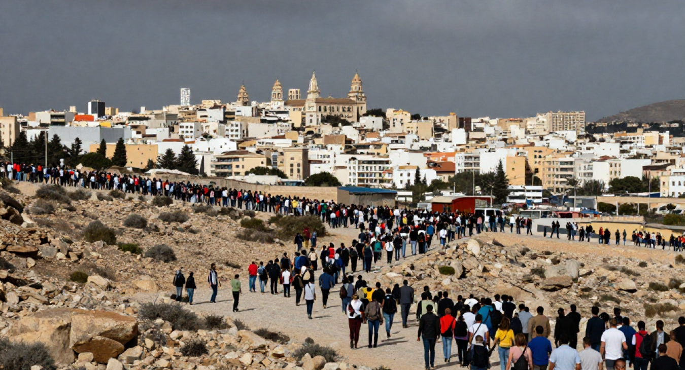
In provinces like Khost, Paktia, and Nangarhar, the distinction between combatant and non-combatant is often blurred by physical proximity. Families frequently reside in the same compounds or adjacent dwellings used by local militant factions. This residential overlap creates a high-density environment where human targets and civilian infrastructure occupy the exact same coordinates.
When intelligence assets use SIGINT (signals intelligence) or overhead imagery to identify a target, the data often lacks the granularity to distinguish a fighter from a relative. A strike intended for a specific insurgent might hit a shared courtyard. Even with high-precision munitions, the kinetic energy of an impact spreads through stone and mud walls, causing collateral damage to nearby civilian quarters. Social cohesion plays a major role here; tribal ties mean that attacking a specific individual often triggers wider communal backlash, complicating future intelligence gathering.
The geography does not help much either. Rugged terrain and dense village clusters force armed groups to hide in plain sight. Because militants do not wear standard uniforms and instead blend into the local population, the margin for error in a precision-guided strike shrinks to almost nothing. Errors in identification lead directly to civilian casualties.